
Our Drone Services for the Contruction Industry
Monitor and Publicise your Construction Projects
Use our Drone Services to Monitor, Record and Measure what is happening with your construction projects with a Drone’s Eye View
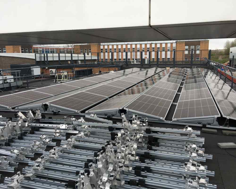
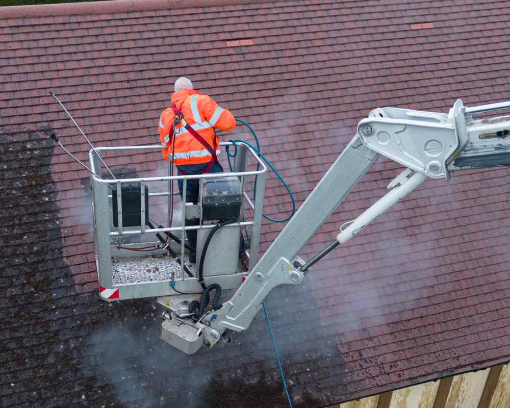
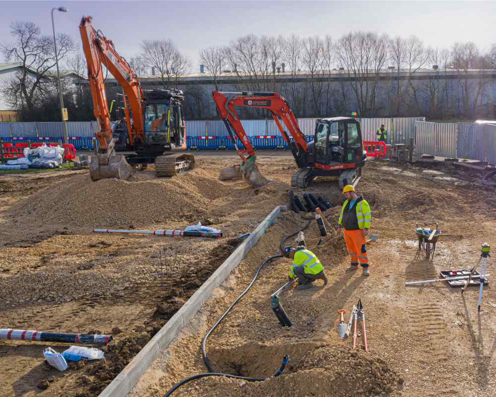
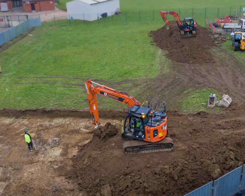
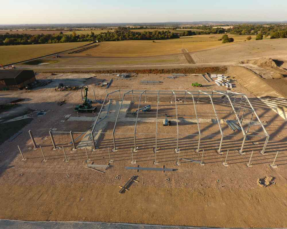
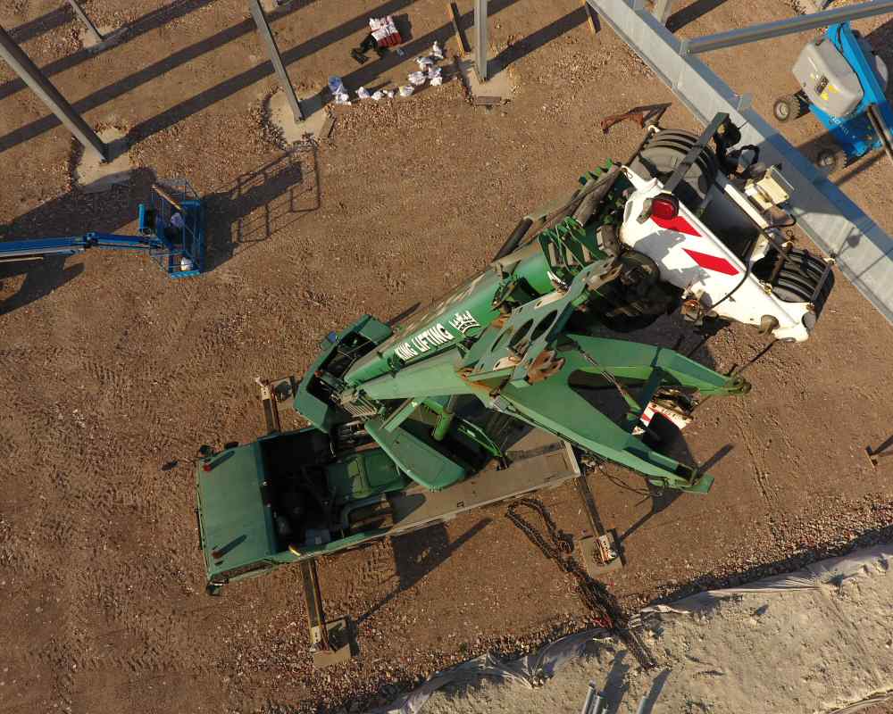
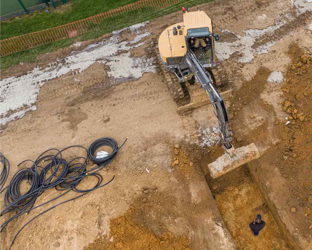
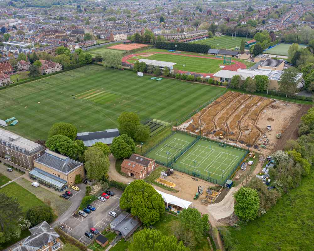
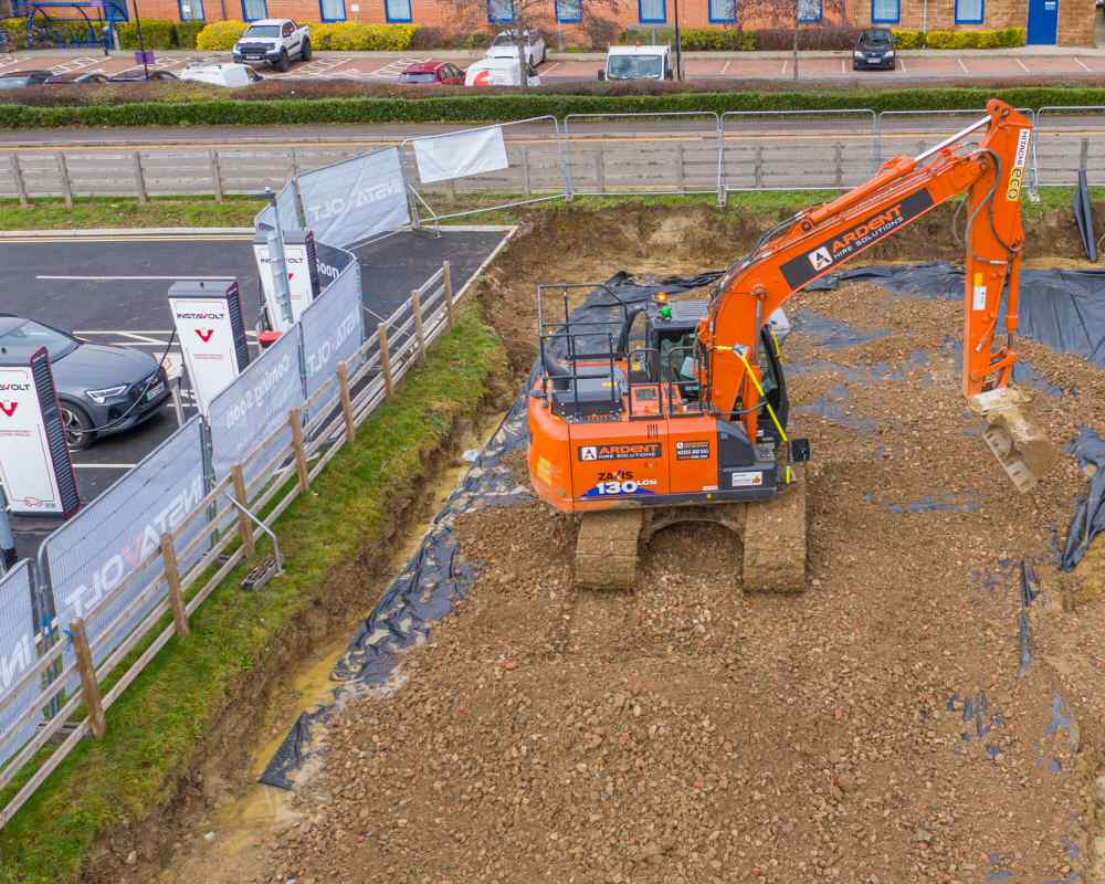
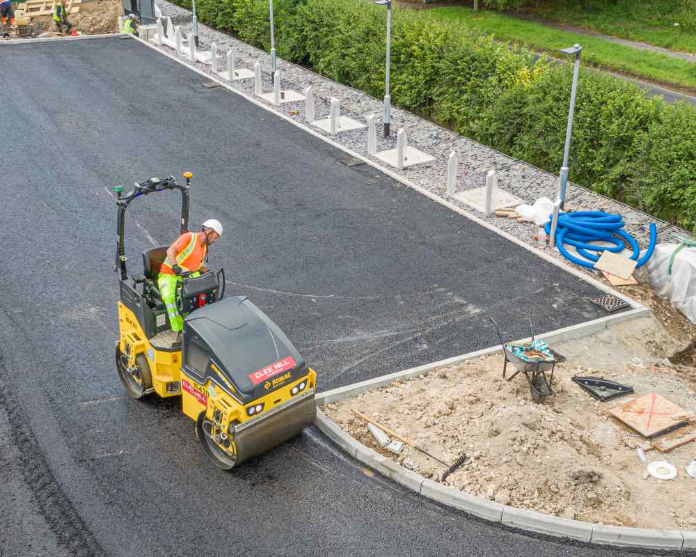
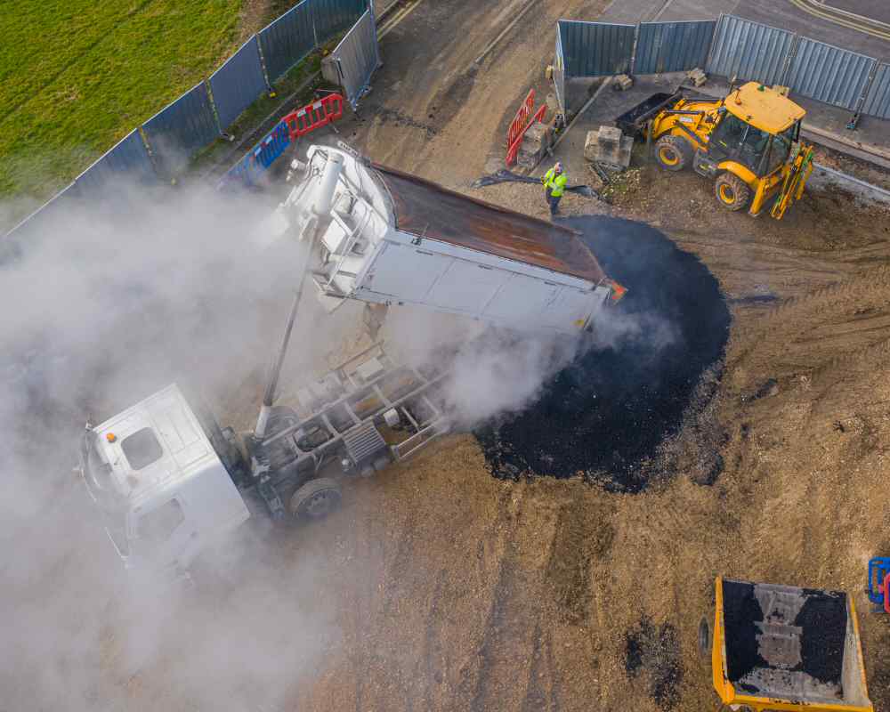
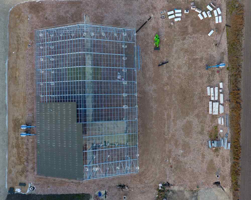
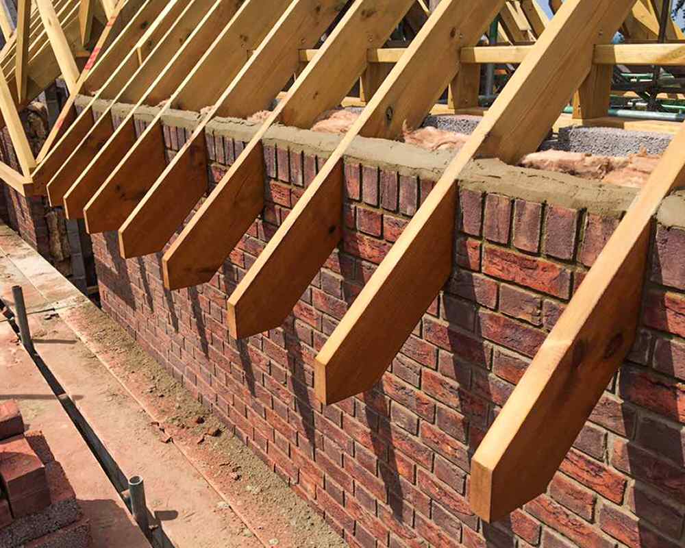
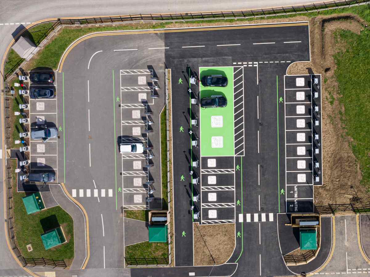
Construction Site Photography
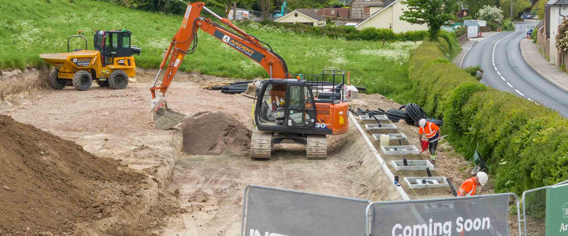
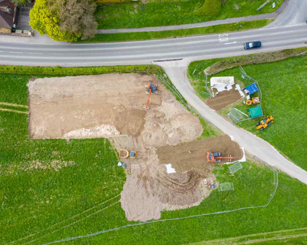
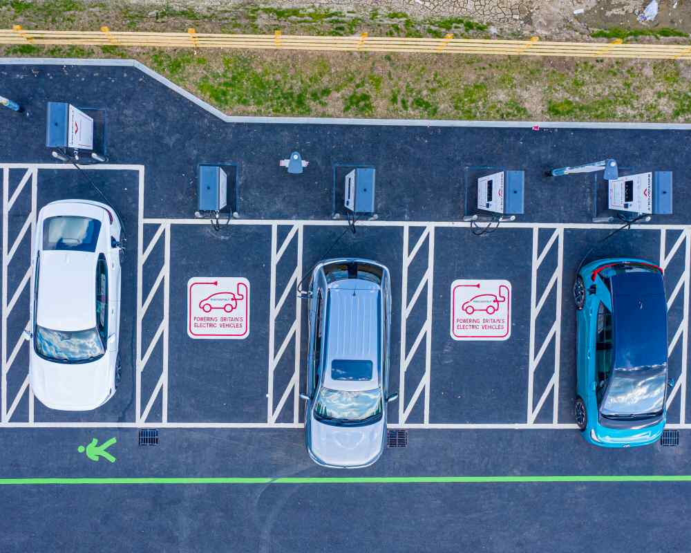
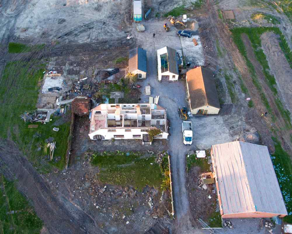
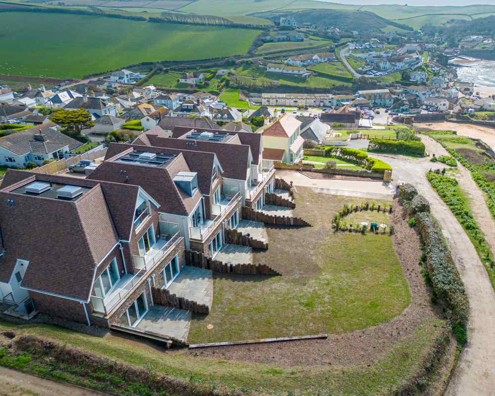
 With many years of safe and legal drone photographic experience, we can monitor and record construction site activities in ways that are just not possible from the ground. To undertake this work we have a variety of types of UAV (Unmanned Aerial Vehicle) equipment at our disposal ranging from drones with high resolution cameras, super lightweight drones, and even First Person View Drones to produce photographs and video to either record your construction progress or to provide the client with photograph and video updates.
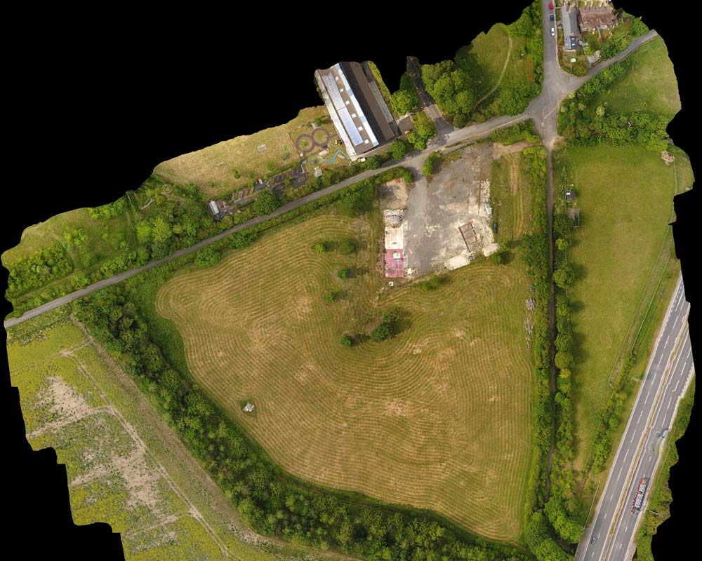
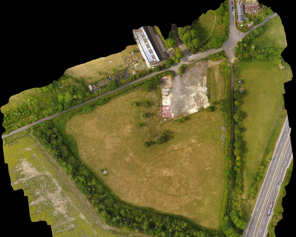
We can also produce detailed maps of your site to be able to assess the overall state of your building project, as well as being able to use such maps for measuring purposes.
Using accurate GPS data we can return to exactly the same spot in the sky time and time again to give you video or slide timelapses of how work is progressing. (see examples below)
Videos can be produced for media purposes very quickly meaning that you can keep clients and potential new customers fully informed as to what state of completion your project has reached. Those videos can be produced especially for Social Media or created for publication to public viewing platforms such as YouTube, where they can be used to showcase your project or as unlisted videos purely for your own reference for ongoing projects.
Construction Time Lapses
The construction and property development industry are familiar with the use of timelapse cameras to monitor progress over a large period of time by using a camera in a fixed location that takes perhaps a single photo every day.
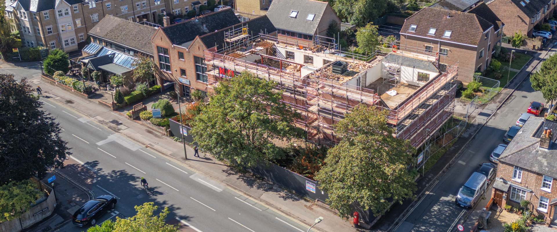
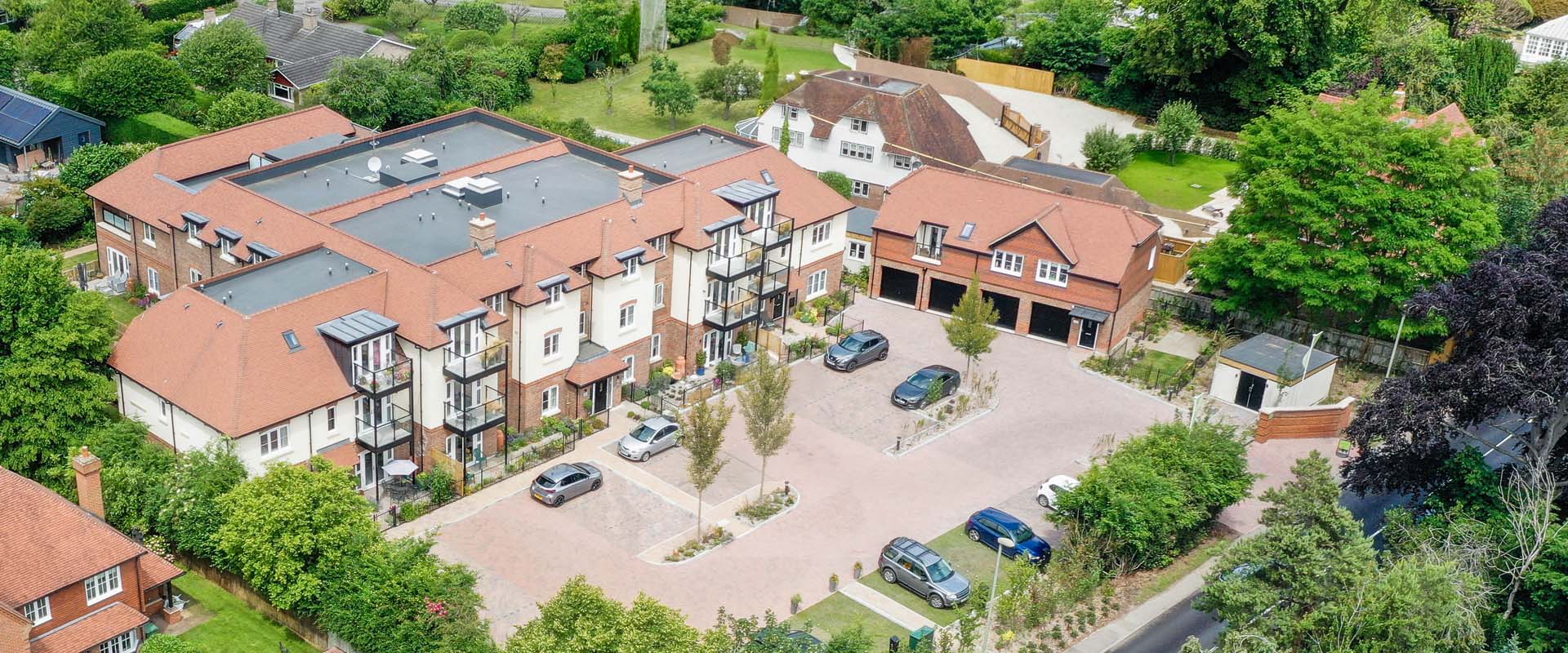
By using preprogrammed flights and GPS locating we can re-create flights over a period of weeks, months or even years which means we can return to the same spot in the sky and take identical photos in the same fashion as a fixed land camera. By using aerial timelapse photography (or even video) we can produce documented images with the same viewing angle on a daily, weekly or monthly basis that can then be converted into a video or a slide show.
This can demonstrate your construction (or landscaping?) progress in a different and informative way.
Each project requires a slightly different solution and we can suggest the best way to utilise this process to suit your needs. We can attend as requested or on a regular basis every certain number of days (weather permitting)
Please see some Before and After examples below…
Marketing Videos
In addition to taking photos and/or videos of a construction site, we can also create short promotional videos for you where we can embed an architect’s drawings or renditions into our photos and videos.
This can allow realistic portrayals of what the finished project will look like. The overall quality of this type of rendition does, however, very much depend upon the quality of the artist’s impressions provided.
Other features in the example opposite are 3D generations of the Oxford area from Google Earth and also our own photo collection of Oxford City Centre which have been animated to appear as drone video.
Before & After 360 Panoramas
It is sometimes possible to create a 360 panoramic photo of a construction site prior to site work and then again after (or indeed during) the construction process.
In addition to simply creating the before and after 360 images, we can also, with the correct artists’ replicas of the completed project, actually edit in the new building or development into the original image.
This can provide a 360 view of what the construction project will look like in a 360 rendition.
Such images are really only for use for embedding into a website where the before and after images can be seen by scrolling from one image to the next (finished version) see this example opposite.
Before & After Still Images
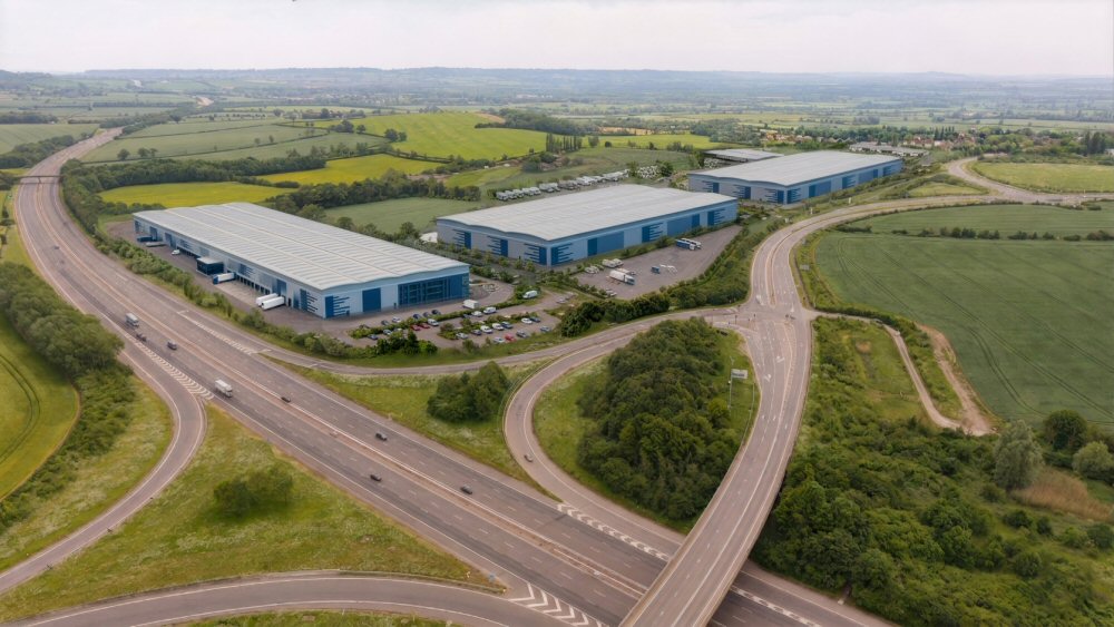
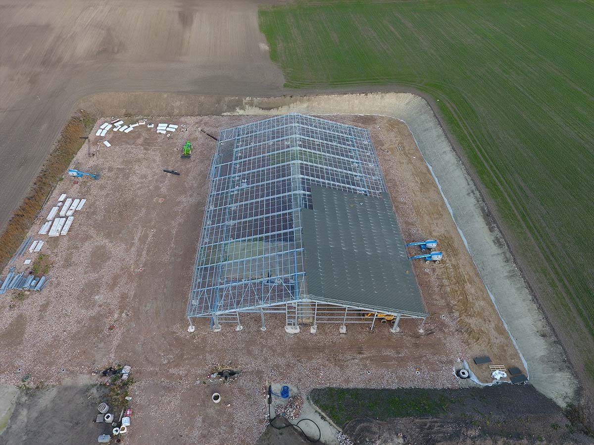
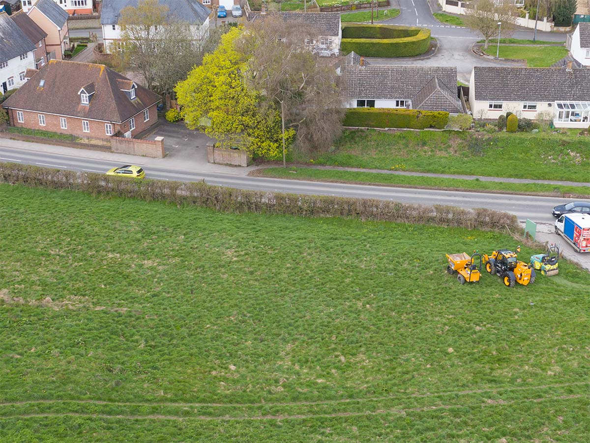
On occasions, for developers and also for people objecting to developments, we have produced aerial imagery of a site to show what it will look like after a development has been completed.
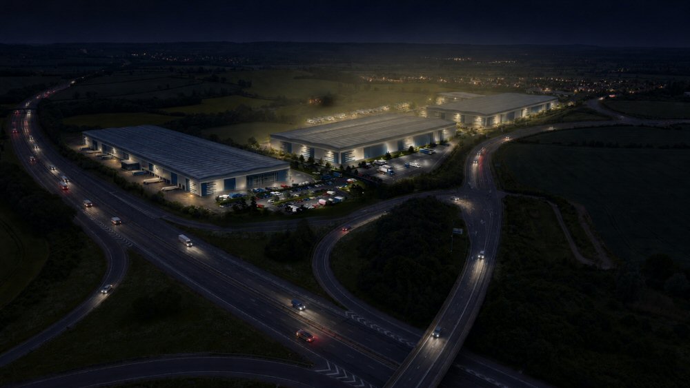
This example is for a planning appeal against a new warehouse development. With the help of AI we managed to embed what the final project would look like once completed and were able to demonstrate exactly what type of impact it would have on the environment.
We also used AI to create a realistic nighttime view of the same scene.
The warehousing image was produced from some very basic elevation drawings in black and white, which were colourised to match in with countryside and thus showing how area would really appear once completed.
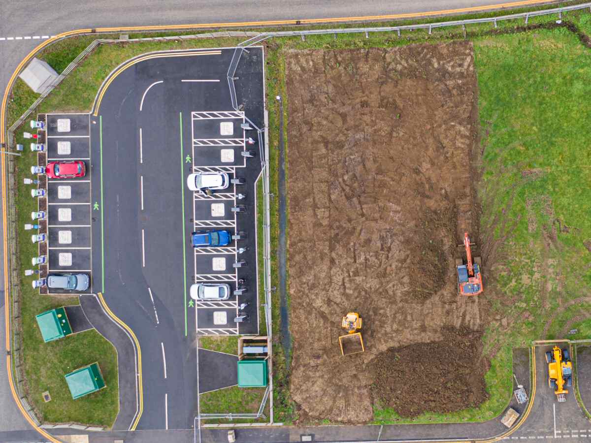


Videos for Construction Industry Projects
We have produced numerous videos over the years with all types of subject matter both for client presentations and also for social media and promotional days.
We always film on the highest quality possible for it’s intended use rather than, like some operators, simply telling you all their videos will be 4K! Most finished videos will be but minutes in length when finished, but to produce those we will generally have used only the best clips and those that we feel will meet your needs.
Quite often we will use more than one drone type to produce your video and often also include, where appropriate, media from hand held video cameras as well. If you wish to produce your own video we are also happy to simply film and provide you with all video media in whatever format you wish (something that film production companies usually require)
Whatever your video requirement, do get in contact to allow us to talk to discuss the best way to create exactly what you require.
The video alongside is an example for a construction company showing a start to finish video that includes the use of different drone types, slow motion, and also some clips from hand held cameras.
Construction Site Mapping
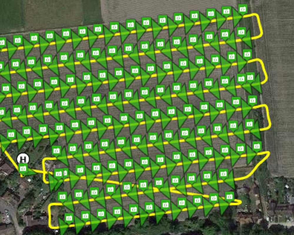
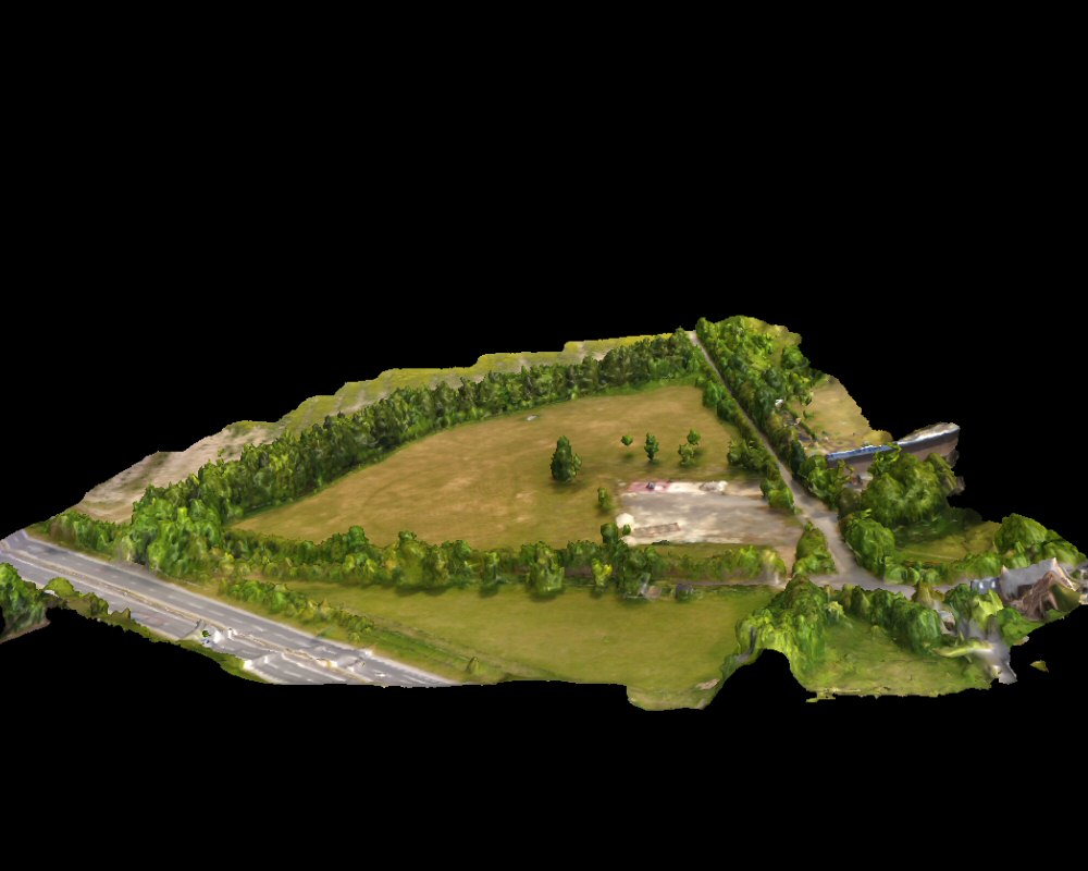
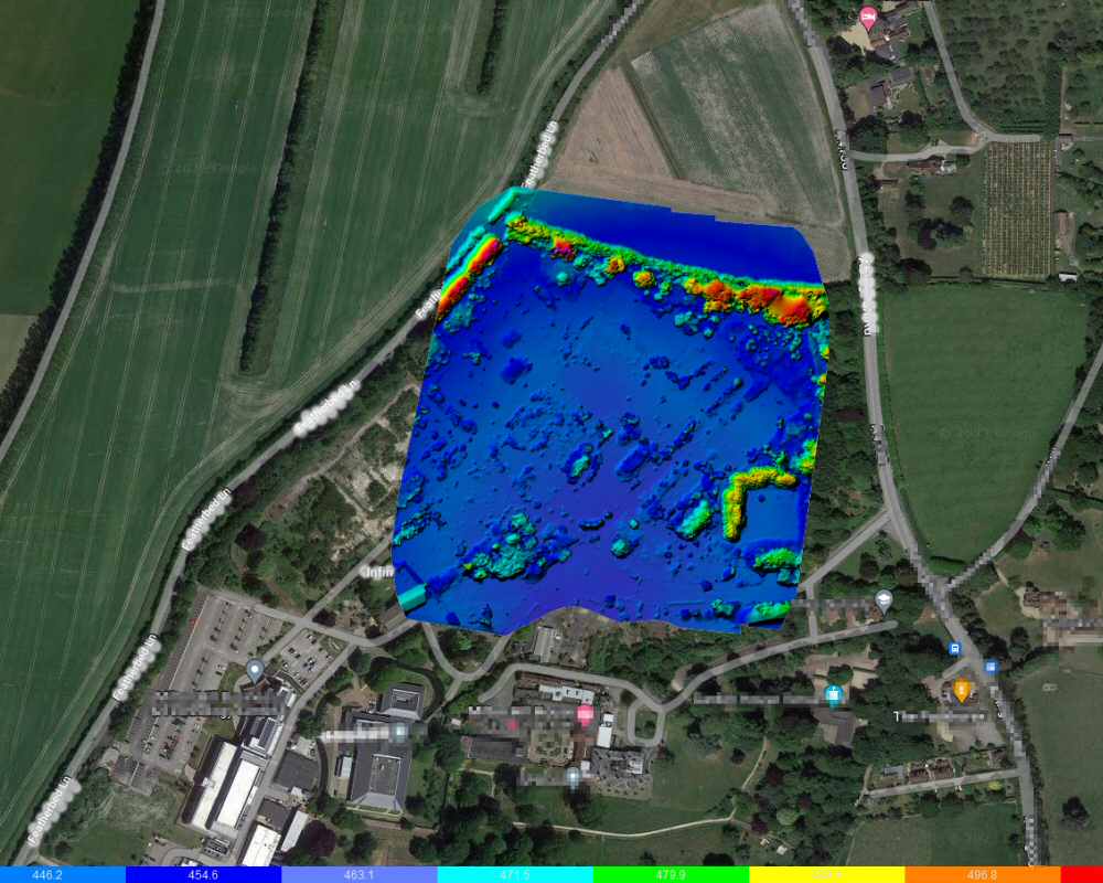
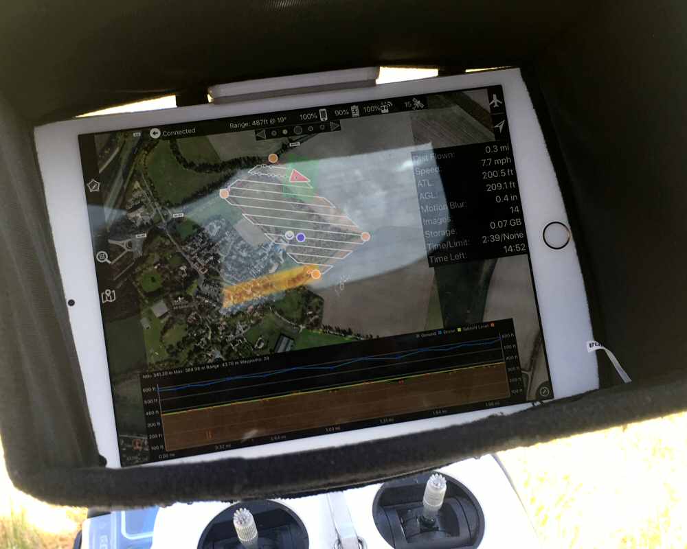
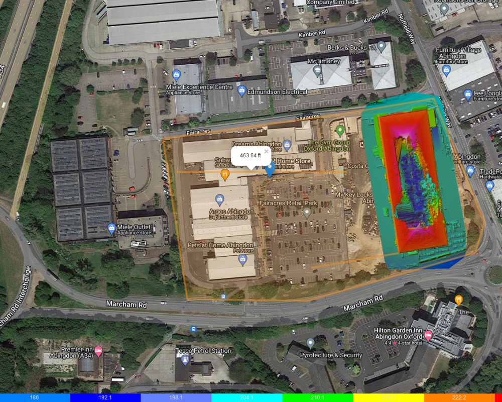
By using a drone your site can be accurately mapped by preprogramming a flight to take multiple images at regular intervals all across the site, usually in a crisscross fashion. The resultant photos are then stitched together to produce an accurate image of the whole site.
Not only can this image be overlaid onto Google Maps but it can also be used to measure and calculate volumes. The same map will also log ground level differences, meaning that a 3d interactive map can also be produced.
To find out more, please visit our mapping page.
CAA Registered

Search Volunteer

NATS – Enabling safe integration in our skies

 We hope you are enjoying looking at our website. If you have any questions or queries, we are always happy to chat.