
Drone Mapping in Oxfordshire and beyond,
Use drone technology to accurately map or film areas from the air
We provide a drone mapping service to all local towns in the Oxfordshire area – Wantage, Didcot, Abingdon, Faringdon, Wallingford, Oxford, Henley, Witney, as well as further afield.
Mapping
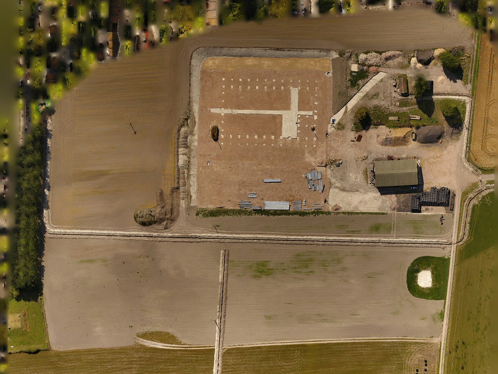
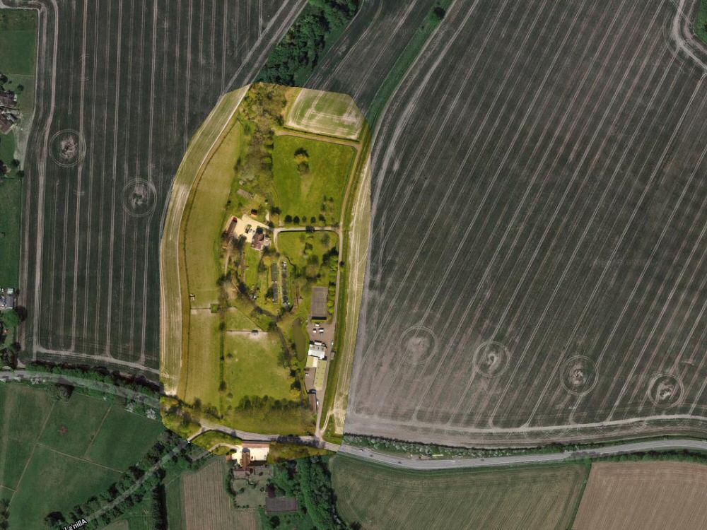
From an Oxfordshire Country Estate down to a private home’s garden, drone mapping can be used to accurately photograph an area of land. The technology used not only logs the precise location date of each and every photograph but altitudes are also recorded. This allows the production of extremely accurate photographic maps which can be used for planning, future reference, or as part of a property’s particulars. Using high definition photography and with merged image overlays an extraordinarily high level of detail can be achieved.
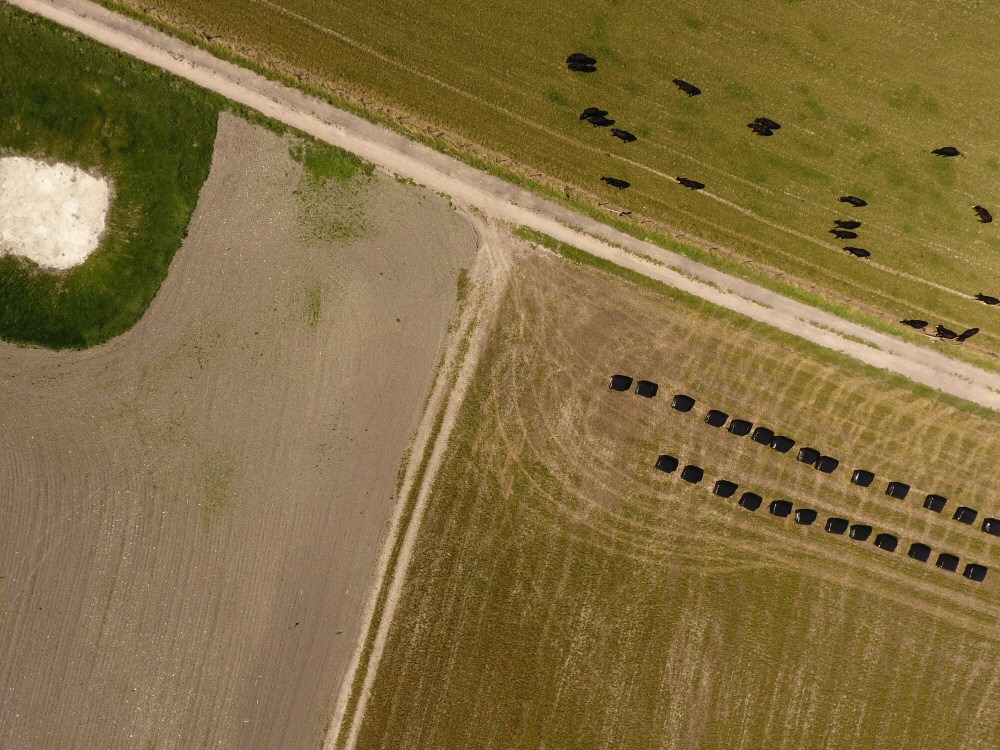
Regular mapping of the same area (subject to suitable weather conditions) can allow for progress records to be maintained on such things as construction sites, or in the case of agriculture records of crop growth over time. For farming, such maps can also show areas of a field that may perhaps require additional fertiliser/spraying. Ground based visual methods for doing this job are not really practicable as not only are there no photographic records but a whole site can not be seen from the ground to give the information that a vertical view is able to.
Mapping images can also be overlaid onto Google Maps to allow site locations to be identified in relation to their surroundings. (see example) Here (opens in new popup window)
3D Mapping
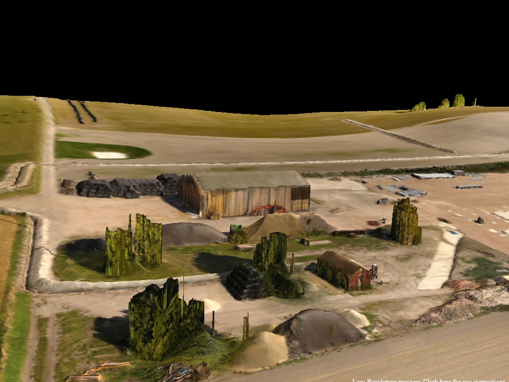
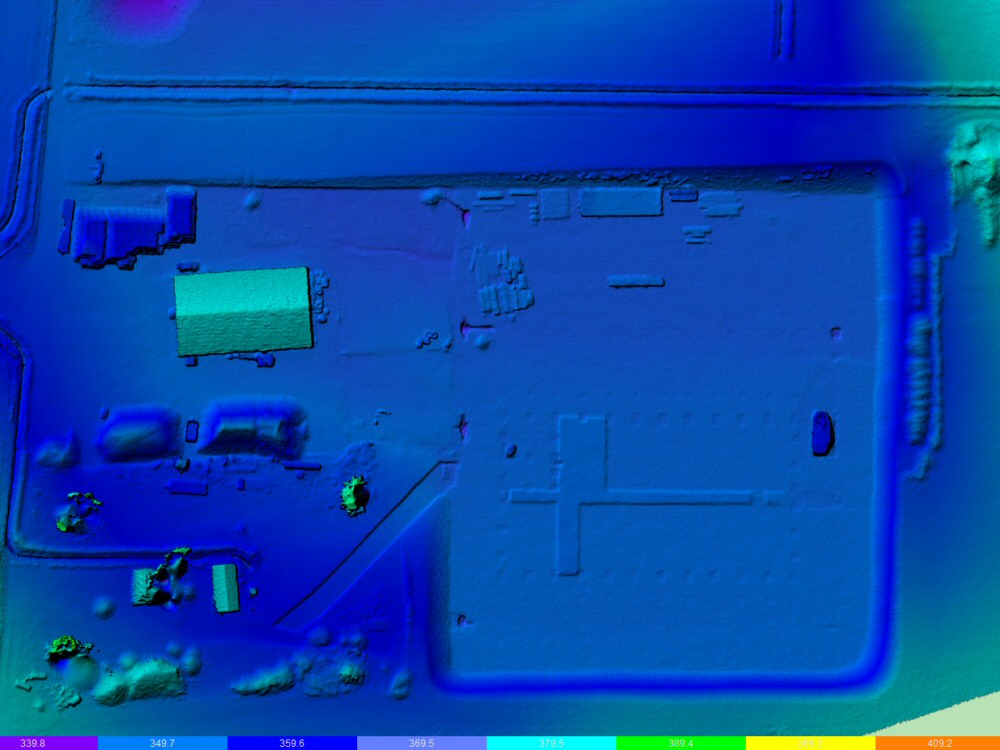
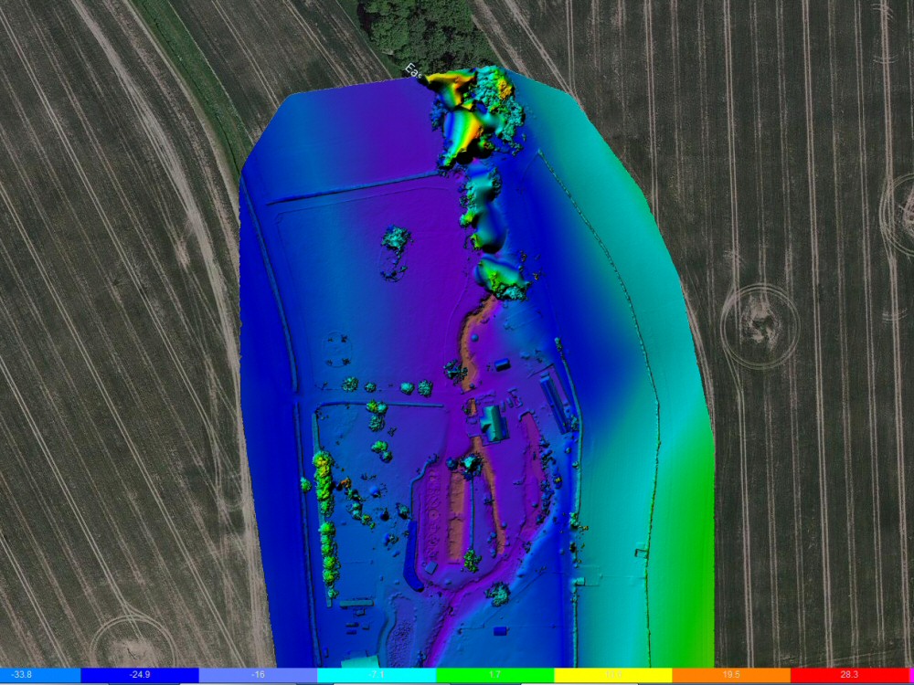
When a mapping project is flown and created we also collect elevation data which is embedded into all images. When this information is combined with ground level data acquired from Google and adjusted for the take off elevation it is possible to create realistic elevation maps of an area which can help when planning such things as drainage or underground pipe runs. It can also assist in the planning of the strength of light that a particular area will be obtaining from the sun.
We cal also provide a realistic 3D interpretation of the site that can be viewed from all angles on a computer. See this example here of a mapped trench holding power cables.
We always collect this data on all but the smallest of mapping projects and usually provide this as a free extra for mapping projects.
An example of 3D mapping can be seen Here (opens in new popup window – use your mouse to look around)


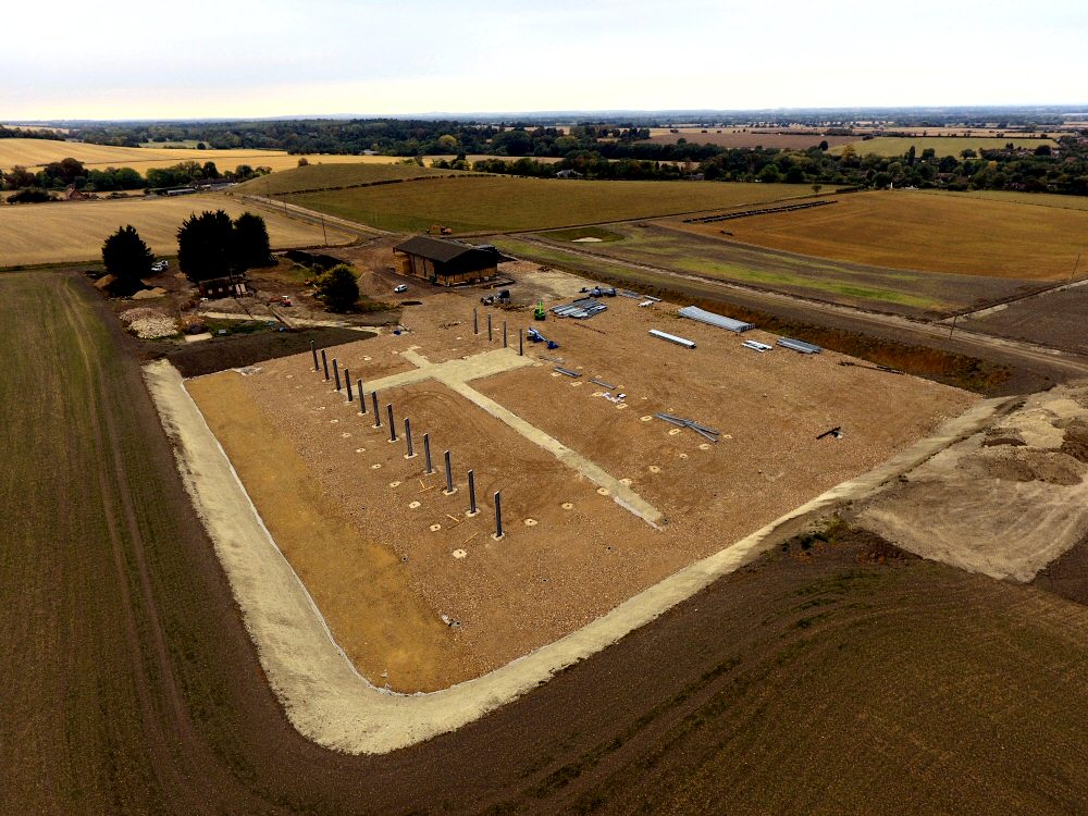
Planned Drone Photographic Records
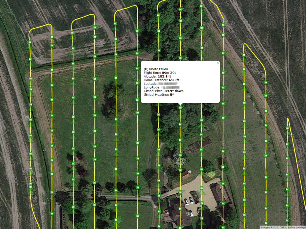
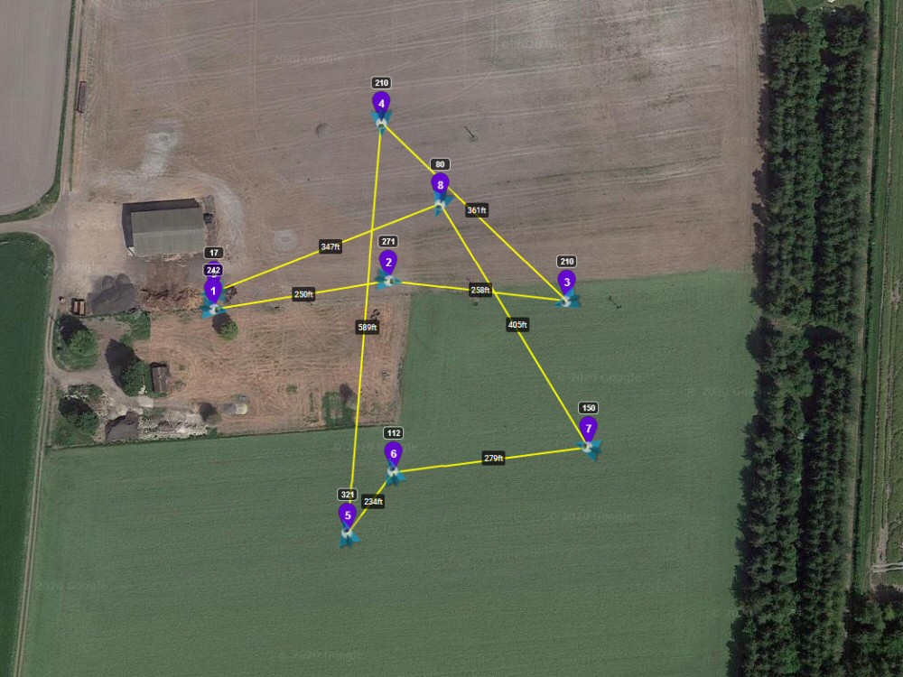
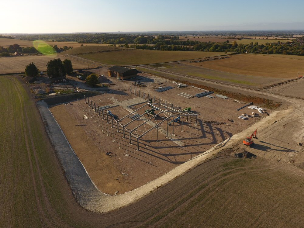
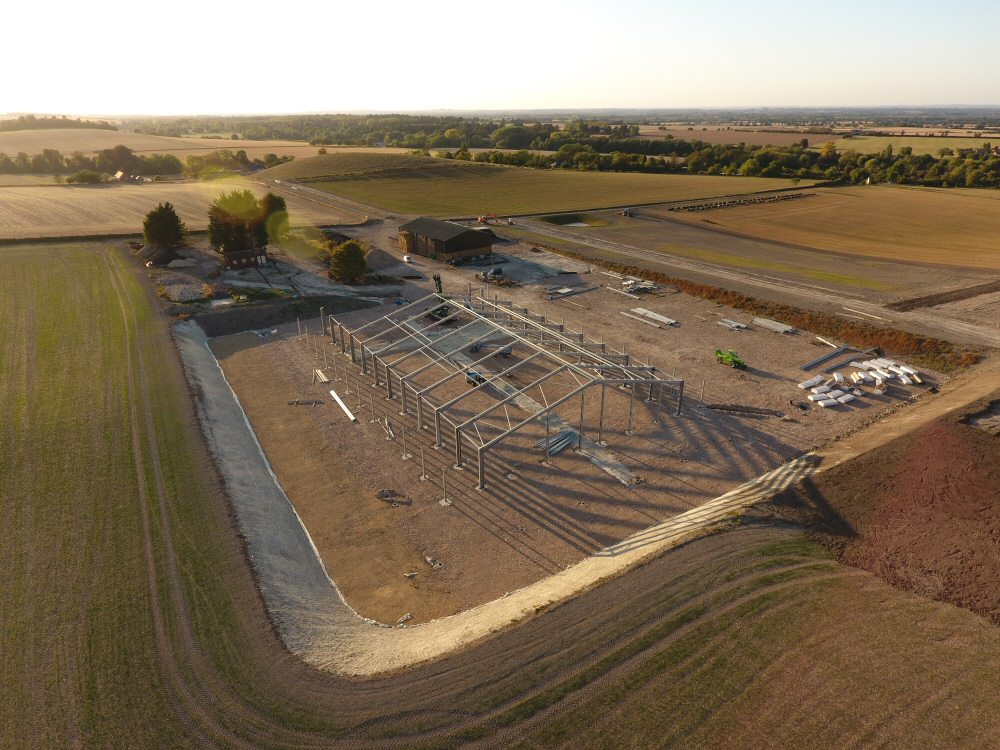
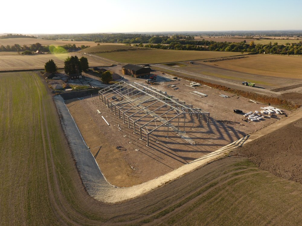
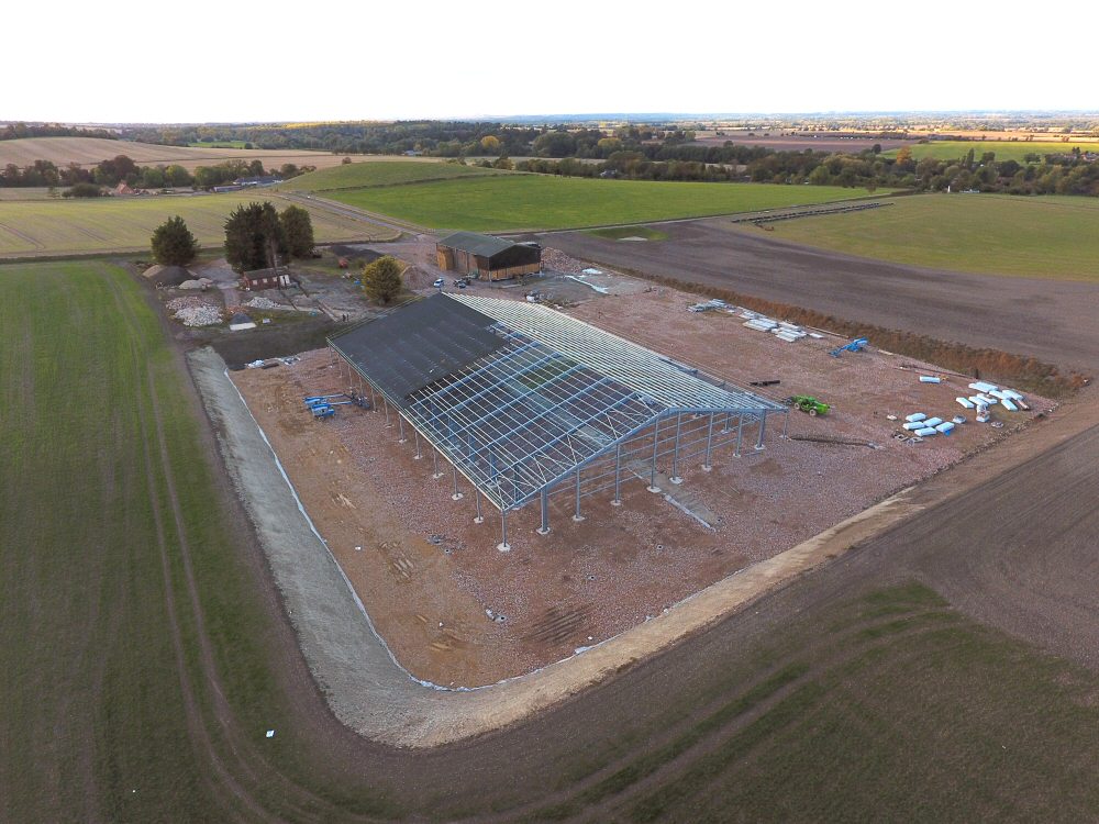
With a pre-planned, saved, flight plan over an area or property created we are able to return to the same location numerous times to create a photographic record of changing views and states and film exactly the same views with identical camera angles. Due to minor fluctuations in barometric pressure and small gps location variations images or video may be from a slightly different angle but that variation is insufficient to create any notable difference and then should you require as an exact a view as possible most of those small differences can be edited out in subsequent photo processing.
The adjacent photos show images of a construction site taken over a period of time from multiple flights at the same location.
Mapped Video or Photography Flights
By using pre-planned flights of a property or premises our flight planning software can produce much smoother video compared to manually flown flights where camera angles can often be a little jerky when compared to a computer generated change of view.
Pre planning of flights also allow us to work out and test views through computerised simulation prior to a site visit so that, upon arrival we will already know what views work best. In planning such flights we also allow for the time of day and sun angles to produce the best possible results by adjusting the time of day, when needed, to get the best views.
As a backup, though, we will also conduct some manually flown shots which can very often be dictated to us by the client (when on site with us) Do to current social distancing measures now expected this can be provided when required using a second monitor held by the client.
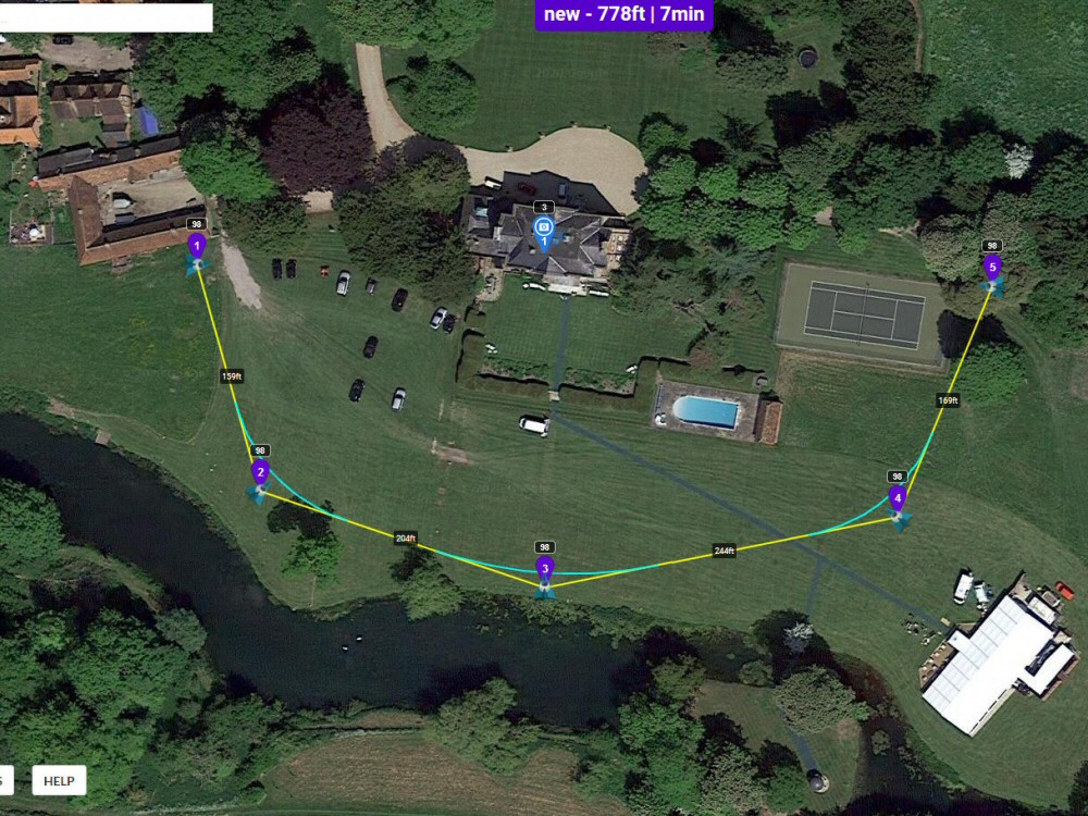

Google Earth helps with the planning
In the video opposite you can see how Google Earth can be used to check pre-planed flight and allows us to see on the screen just how a flight may look in reality. Initial flight plans are generally created and checked using Google maps and specialist software before previewing, where appropriate in Google Earth.
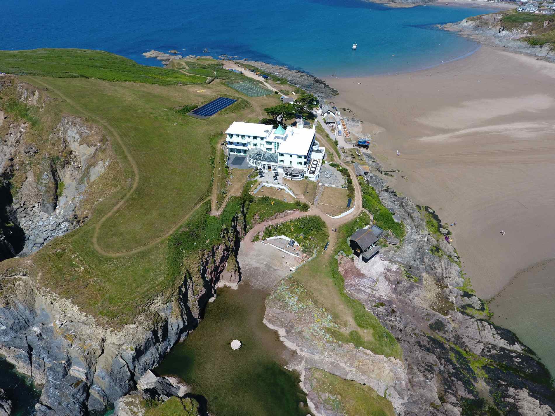
The first part of the video is a pre-planned theoretical flight around part of Brownsea Island in Dorset and has an overlay image showing a real photo of the same view. The second section of the video actually show some real flight footage and compares this to the Google Earth rendition of the same view. Again it can be seen that the use of Google Earth can help us with pre-flight planning to ensure we are getting the correct views.
Do note, however, than not everywhere on Google Earth produces such high quality 3D imagery although it is generally sufficient to obtain a clear understanding of how shots will work.
CAA Registered

Search Volunteer

NATS – Enabling safe integration in our skies

 We hope you are enjoying looking at our website. If you have any questions or queries, we are always happy to chat.